Last week, I had the opportunity to ride along with a law enforcement (LE) ranger to explore some of the less popular units of the Big Thicket. The second unit that we visited was Neches Bottom and Jack Gore Baygall. This long name might raise multiple questions for the reader, so I'll explain the name piece by piece.
What is Neches Bottom?
A floodplain along the Neches River, which runs through the Big Thicket.
Who was Jack Gore?
I've been trying to find this for a week. I could not figure this out. If you know if Jack Gore was a real person from southeast Texas, please let me know.
What is a baygall?
An ecosystem where sweetbay magnolias and gallberry hollies grow, along with other water loving plants. The swamp water is acidic and has little oxygen. Cypress and tupalo live here, too.
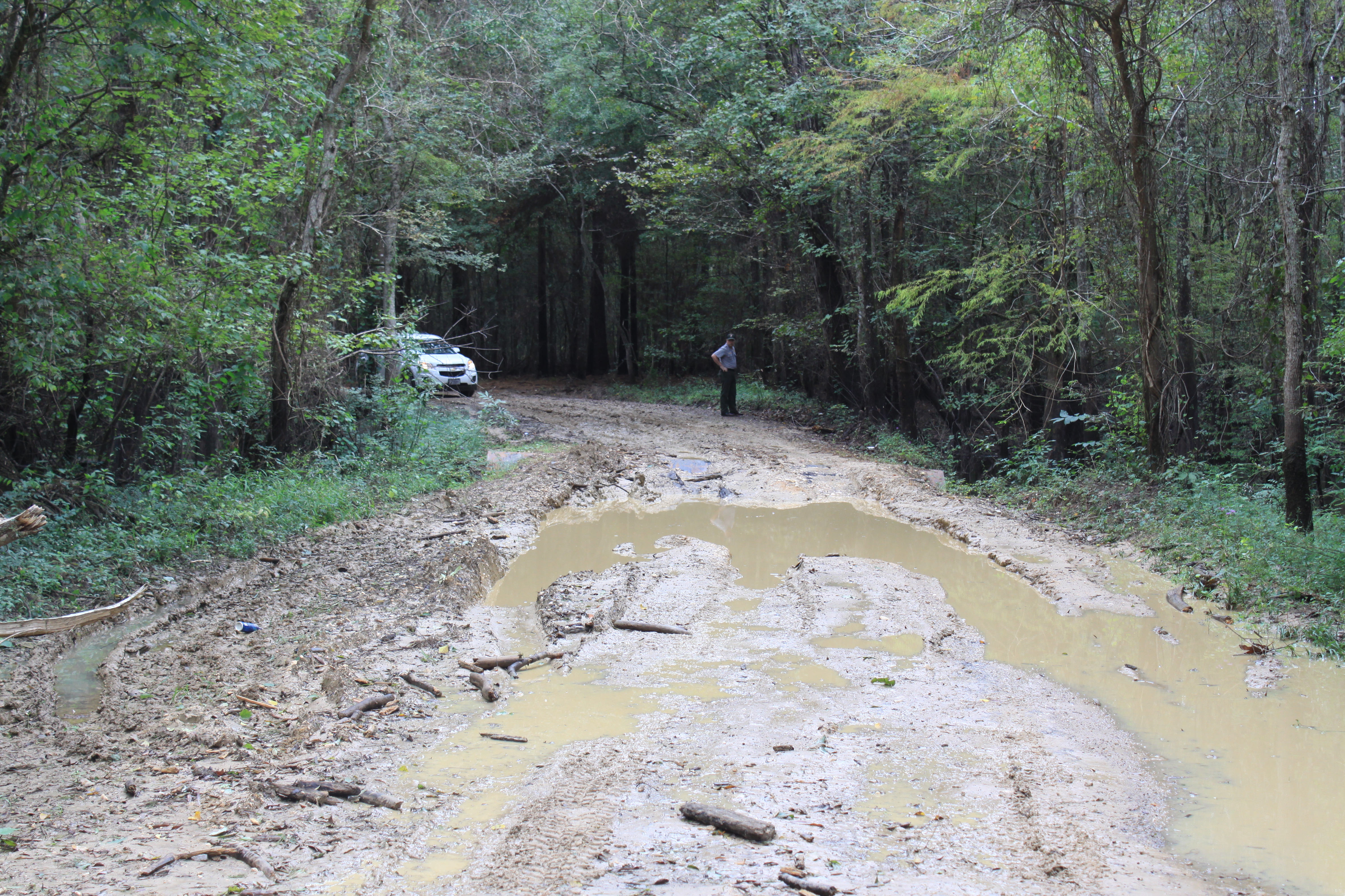
This unit is used primarily for hunting. The preserve will begin issuing hunting permits for this unit and several others beginning on September 1. This unit has a single dirt path, called Timber Slough Road, as its public entry point. However, this road is poorly maintained by the county and is impassable except when using a four wheeler, as seen in this picture from the National Park Service:
Additionally, the mud, swampiness, and large fly population would make this unit unpleasant for hiking or camping, although these activities are permitted by the park service. Nevertheless, a lot of wildlife lives in this unit, so it's important to preserve this land in its natural state.